Featured
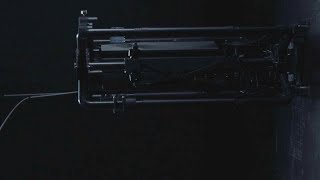
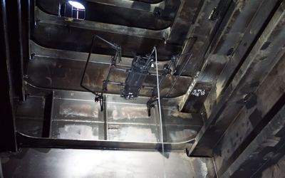
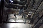
The inspection of stack interiors presents challenges due to limited access and poor visibility. Avestec overcame these obstacles by employing the remote capabilities of their aerial robot.
The inspection of stack interiors presents challenges due to limited access and poor visibility. Avestec overcame these obstacles by employing the remote capabilities of their aerial robot.
The inspection of stack interiors presents challenges due to limited access and poor visibility. Avestec overcame these obstacles by employing the remote capabilities of their aerial robot.
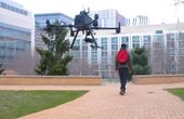
Intelligent flying robots emerged as an alternative to overcome the challenges of stacks inspections
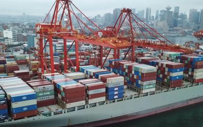
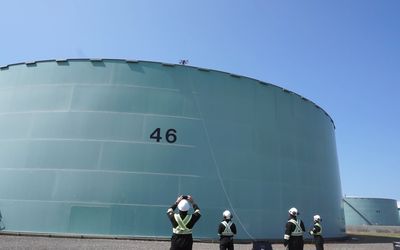
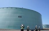
Flying robots have emerged as an innovative solution for conducting ship inspections.
Unveiling the Duel of Digital Design - A Comprehensive Exploration of History, Syntax, and Applications of the two popular hardware description languages
16 minutes read.
Robotics and Drones
We empower R&D by providing the computational power, ROS packages, payloads & functionality for your unique use case.
14 Posts

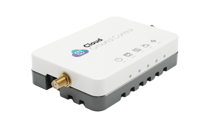
Drone Fleet Management Software
Cloud Ground Control is a cloud based command and control solution for oper...
7 Posts
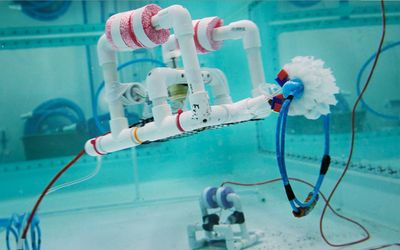
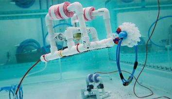
Launched by MIT Sea Grant, SeaPerch and SeaPerch II have had a big impact on young learners interested in ocean science and engineering.
How to Maximize Your Robot Without Blowing Your Budget
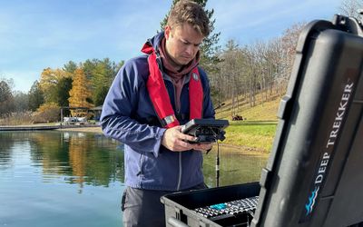
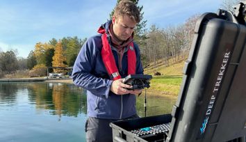
Discover how Deep Trekker rigorously tests and evaluates IMU technologies, comparing MEMS and FOG systems to ensure precise underwater navigation for ROVs.
Discover the vital role of underwater positioning in marine science, and how remotely operated vehicles (ROVs) are leading the way in location tracking.
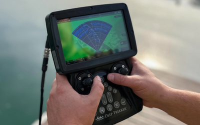
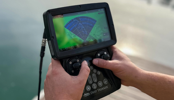
Learn about Deep Trekker’s proprietary BRIDGE technology and how it enables you to control your Deep Trekker ROV from any device, and so much more.
Everything you need to know about Dead Reckoning for underwater navigation.
Learn more about what sonar is and its many uses. Read about its applications, technologies, principles, and more.
In this episode, we discuss how CalTech researchers have created bionic jellyfish to help us explore the oceans and better understand the impacts of climate change.
The inspection of stack interiors presents challenges due to limited access and poor visibility. Avestec overcame these obstacles by employing the remote capabilities of their aerial robot.

Intelligent flying robots emerged as an alternative to overcome the challenges of stacks inspections
3 minutes read
Flying robots have emerged as an innovative solution for conducting ship inspections.
3 minutes read
Space startup Astrobotic mimics the moon's surface material and tests various designs of new moon rovers.
Elythor, an EPFL spin-off, has developed a new drone whose wing shape can adapt to wind conditions and flight position in real time, reducing the drone’s energy consumption. What’s more, the position of the wings can change, allowing the drone to fly vertically or horizontally. These features make it a perfect candidate for inspecting power plants.

4 minutes read
In this article, we will dive deep into the world of simultaneous localization and mapping using Lidar technology. Lidar SLAM has been gaining popularity in recent years, thanks to its versatility and applications across various domains, including autonomous vehicles, mobile robotics, and indoor mapping.
CGConnect, its cellular micro-modem that uses 4G/5G networks to link any drone or robotic vehicle to Cloud Ground Control’s cloud-based drone fleet management platform, enabling live-streaming, command and control from a web browser.

2 minutes read
As evidence mounts that gas drilling and sewer systems leak far more greenhouse gases than previously believed, a team of Princeton researchers has developed a method to pinpoint leaks both big and small for speedy repair.
MIT researchers exhibit a new advancement in autonomous drone navigation, using brain-inspired liquid neural networks that excel in out-of-distribution scenarios.
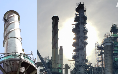
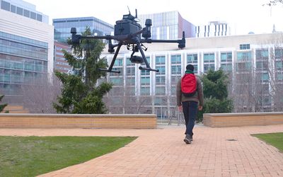
Intelligent flying robots can perform Non-Destructive Testing inspections on various assets across various industries, including tanks, towers, pipes, flare stacks, ships, and more.
Refineries are known for operating under harsh conditions of high pressure and temperature, which can cause damage to equipment over time, leading to defects such as internal corrosion, cracking, and erosion.
3 minutes read
In a world that runs on data, computer simulations are among our most powerful tools for investigating any scenario. The same is true for NASA Advanced Air Mobility (AAM) researchers as they plan the future of the national airspace. Together with industry partners, these researchers are delivering the data needed to allow self-flying electric air taxis and drones to execute flight paths as easily as your phone maps your car’s route.

3 minutes read
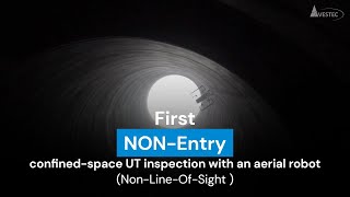
Intelligent Flying Robots have revolutionized NDT inspections by conducting accurate ultrasonic thickness (UT) and visual inspections in challenging conditions.
A large metal vessel of a Floating Storage and Offloading (FSO) unit requires an extensive inspection from every angle, but cramped spaces and high temperatures make the inspection challenging. This inspection was done with a flying robot to avoid putting people in the small and hot areas.
Using an Intelligent Flying Robot, inspectors can safely perform measurements and inspections without exposure to potential hazards.