Featured
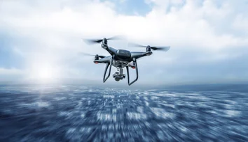
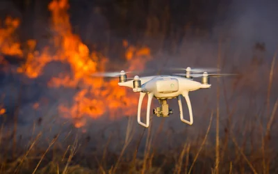
As the global adoption of uncrewed vehicles gains momentum in firefighting operations, it's evident that these technological advancements hold immense potential.

As the global adoption of uncrewed vehicles gains momentum in firefighting operations, it's evident that these technological advancements hold immense potential.
As the global adoption of uncrewed vehicles gains momentum in firefighting operations, it's evident that these technological advancements hold immense potential.
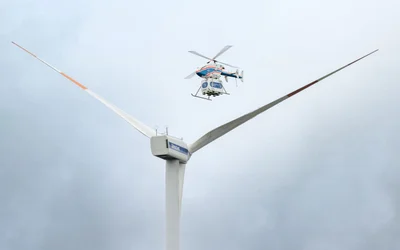
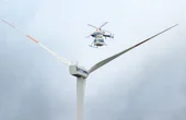
Logistics for offshore wind farms could be simplified with the use of drones. DLR is working with energy supplier EnBW to determine requirements and possibilities.
By 2050 value-added services could account for 73% of the drone market's revenue.
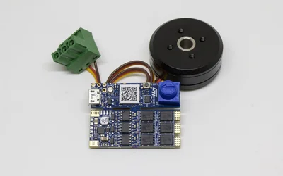
Electronic power stage and control choices for brushless DC motors.
16 minutes read.
16 minutes read.

Robotics and Drones
We empower R&D by providing the computational power, ROS packages, payloads & functionality for your unique use case.
14 Posts

Drone Fleet Management Software
Cloud Ground Control is a cloud based command and control solution for oper...
7 Posts

Appliances, Electrical, and Electronics Manufacturing
We produce high-end electric propulsion systems for the most demanding UAV-...
Learn why growing hardware teams slow down as they scale, and how aligned workflows, parallel collaboration, and real-time design visibility restore speed and momentum.
How standardized electronic identification will enable high-volume, complex drone operations.
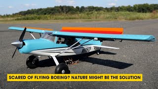
In this episode, we explore how the mechanics of bird wings are inspiring new approaches to prevent airplanes from stalling and learn how bio-mimetic designs from nature are paving the way for innovations in aviation, enhancing stability and safety for future flights.
Taking inspiration from bird feathers, Princeton engineers have found that adding rows of flaps to a remote-controlled aircraft’s wings improves flight performance and helps prevent stalling, a condition that can jeopardize a plane’s ability to stay aloft.
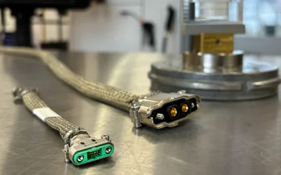
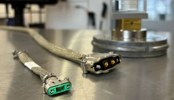
How does connector design influence UAV performance in demanding environments? Harwin explores high-reliability connectors for next-generation UAVs.
An interview with Ryan Smart, VP of Product at Harwin, discussing the challenges of shielding in high-reliability connectors, high-current design trends, and the hybrid power-and-signal connector layouts.
Adding Intelligence to Radar with the BrainChip Real-Time Micro-Doppler Classification
CBC Interview: InDro Robotics CEO Philip Reece on the New Federal Budget & Technology
As the global adoption of uncrewed vehicles gains momentum in firefighting operations, it's evident that these technological advancements hold immense potential.
Logistics for offshore wind farms could be simplified with the use of drones. DLR is working with energy supplier EnBW to determine requirements and possibilities.

5 minutes read
By 2050 value-added services could account for 73% of the drone market's revenue.

6 minutes read
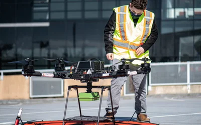
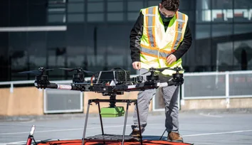
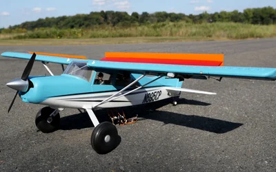
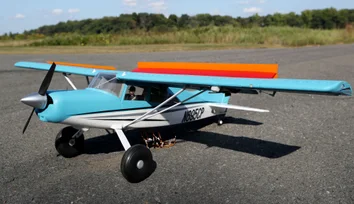
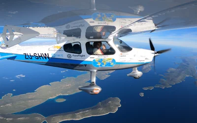
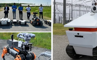
Watch How Flying Robots Like SKYRON Are Redefining Safety Checks at Sea

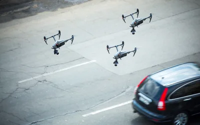
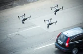
Critical to utilising uncrewed vehicles for disaster relief is the ability to coordinate vehicles into autonomous fleets and leverage live video links for real-time observation.
Drones, coupled with cutting-edge navigation systems, are promising unmatched efficiency and foresight across diverse sectors.
SKYRON's Cutting-Edge Solution Overcomes Hazardous Obstacles and Delivers Rapid Results
BVLOS, swarm, and military-grade encryption will enable wider and more diverse applications of drones, while cutting-edge software platforms enable operators to improve fleet coordination with more data control
Unveiling the Duel of Digital Design - A Comprehensive Exploration of History, Syntax, and Applications of the two popular hardware description languages
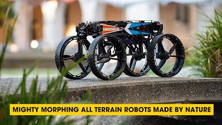
In this episode, we discuss the fascinating world of bioinspired robotics. Discover how researchers have created versatile robots inspired by nature's flight, rolling, and walking abilities.

17 minutes read
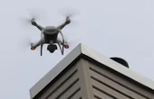
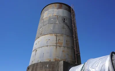
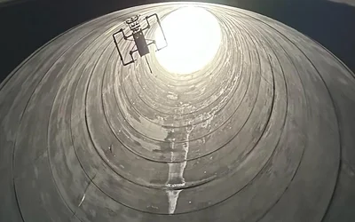
First NON-entry confines space Ultrasonic Thickness inspection with an aerial robot.
3 minutes read
The inspection of stack interiors presents challenges due to limited access and poor visibility. Avestec overcame these obstacles by employing the remote capabilities of their aerial robot.
Intelligent flying robots emerged as an alternative to overcome the challenges of stacks inspections
3 minutes read
In today’s world, continuous connectivity sounds like an everyday given. But delivering it is far from simple.

2 minutes read
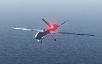
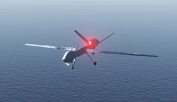
Flying robots have emerged as an innovative solution for conducting ship inspections.
3 minutes read