Drones Rovers

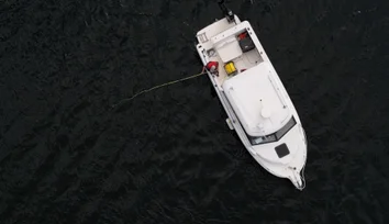
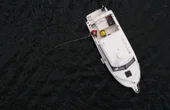
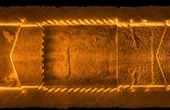
Helping Maintain Stable Position in Fast-Moving Waters

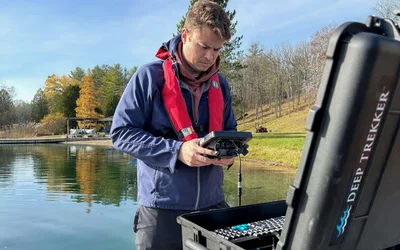
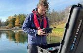
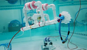
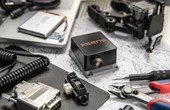
Discover how Deep Trekker rigorously tests and evaluates IMU technologies, comparing MEMS and FOG systems to ensure precise underwater navigation for ROVs.
Engineers Wiki. Most Asked Questions.

Unveiling the Duel of Digital Design - A Comprehensive Exploration of History, Syntax, and Applications of the two popular hardware description languages
Lidar SLAM: The Ultimate Guide to Simultaneous Localization and Mapping
16 minutes read.
ORGANIZATIONS. SHAPING THE INDUSTRY.
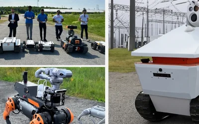
InDro Robotics
Robotics and Drones
We empower R&D by providing the computational power, ROS packages, payloads & functionality for your unique use case.
14 Posts


Cloud Ground Control
Drone Fleet Management Software
Cloud Ground Control is a cloud based command and control solution for oper...
7 Posts

TAGGED WITH autonomous underwater vehicles (auvs)
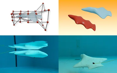
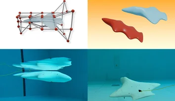
An AI pipeline developed by CSAIL researchers enables unique hydrodynamic designs for bodyboard-sized vehicles that glide underwater and could help scientists gather marine data.

A spherical prototype with "nimble dimples" can change its surface from smooth to dimpled, cutting through drag and generating lift.

Helping Maintain Stable Position in Fast-Moving Waters

TAGGED WITH remotely operated vehicles (rovs)
Launched by MIT Sea Grant, SeaPerch and SeaPerch II have had a big impact on young learners interested in ocean science and engineering.
How to Maximize Your Robot Without Blowing Your Budget
Discover how Deep Trekker rigorously tests and evaluates IMU technologies, comparing MEMS and FOG systems to ensure precise underwater navigation for ROVs.
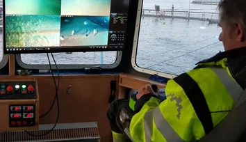
Discover the vital role of underwater positioning in marine science, and how remotely operated vehicles (ROVs) are leading the way in location tracking.
Latest Posts
Helping Maintain Stable Position in Fast-Moving Waters

4 minutes read
How to Maximize Your Robot Without Blowing Your Budget

6 minutes read
Discover how Deep Trekker rigorously tests and evaluates IMU technologies, comparing MEMS and FOG systems to ensure precise underwater navigation for ROVs.

7 minutes read
Discover the vital role of underwater positioning in marine science, and how remotely operated vehicles (ROVs) are leading the way in location tracking.
12 minutes read

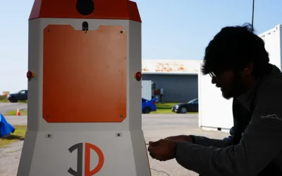
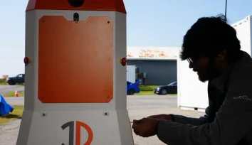
An outdoor enclosure that keeps Sentinel protected from harsh weather, while allowing for wireless recharging.
5 minutes read
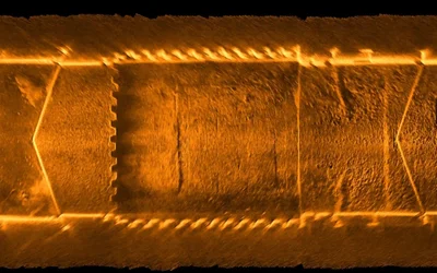
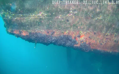
Explore 2D sonar mosaic mapping with Deep Trekker ROVs to create detailed underwater views for inspecting dams, canals, and tunnels in low-visibility waters.
11 minutes read
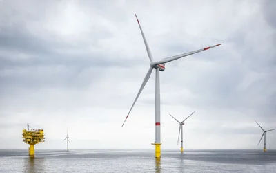
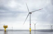
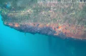
Sustainable monitoring of the marine environment is crucial for the environmentally responsible operation of offshore wind farms and the protection of biodiversity. In the SeaMe project, RWE together with research partners to develop innovative technologies for comprehensive ecosystem monitoring.
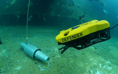
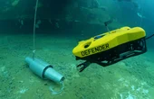
Discover how ROVs revolutionize defense and security missions, ensuring vessel hull safety and integrity. Explore cutting-edge robotic technology.
7 minutes read
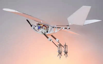
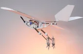
EPFL researchers have built a drone that can walk, hop, and jump into flight with the aid of birdlike legs, greatly expanding the range of potential environments accessible to unmanned aerial vehicles.

3 minutes read
With Xsens MTi AHRS
3 minutes read
A comprehensive overview designed to find you the ideal ROV for your next project. Make an informed purchase based on features, industry, and budget.
23 minutes read
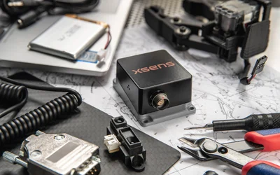
The all new Xsens Sirius series has been engineered to enable true autonomy in harsh conditions
3 minutes read
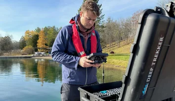
Explore control options for Deep Trekker ROVs, including handheld, tablet, console, and BRIDGE Box for diverse environments and operator needs.
13 minutes read

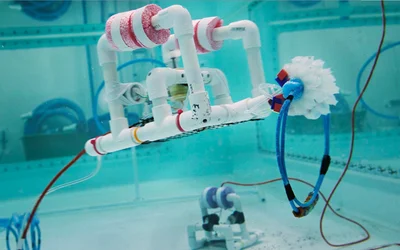
Texas A&M researchers transform how robots traverse challenging terrain.


NAV Canada Update
6 minutes read